Manual Land Classification
Manual land classification digitization to determine proposed developments impact on non-developed land cover.
Year
2026
Scope
Land Cover Digitization
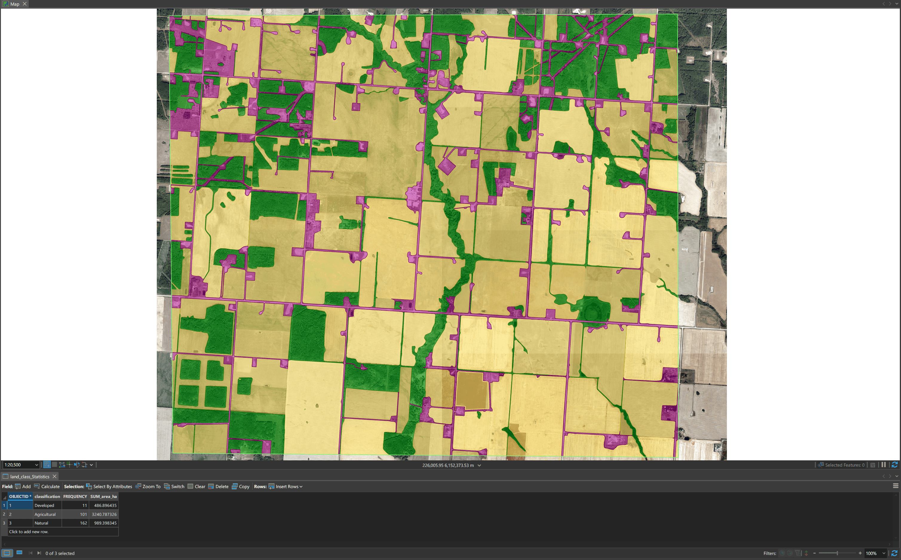
Here I created a polygon feature class, digitizing all land cover in a given study area. Used to measure the total impact of newly proposed developments on existing undeveloped land in order to determine if the impact would be greater than 0.25% of the area of undeveloped land.
Methodology
ArcGIS Pro feature creation/edit tools
Raster Mosaic to show satellite imagery for full study area
Topology to ensure no gaps/overlaps
Intersect on land-cover polygons with proposed developments to find impacted area
Adherence to MMU of 0.4 hectares
Documentation
For further documentation, including MMU justification and an Interpretation Key click the 'Documentation' button above!